Wollondilly Mapping
Council has created an interactive online mapping system (IntraMaps) for the public to access information about our local area.
You can find information on:
- Waste Collection
- Alcohol Free Zones
- Bushfire Prone Land
- Road Bridge Limits
- Natural Hazards
- Mowing
- Flood Exhibition
- Accessible Parking
- and more!
REQUEST INFORMATION
You may request Council to extract information, conduct a general enquiry or provide a printed map for a fee. To do so complete the Mapping Services Application Form.
CONTACT
Council's GIS Team on (02) 4677 1100 for further IntraMaps details or issues. Please note, the GIS team are not responsible for the departments listed above, only the map itself.
Upcoming Events

Walk It Off - Warragamba
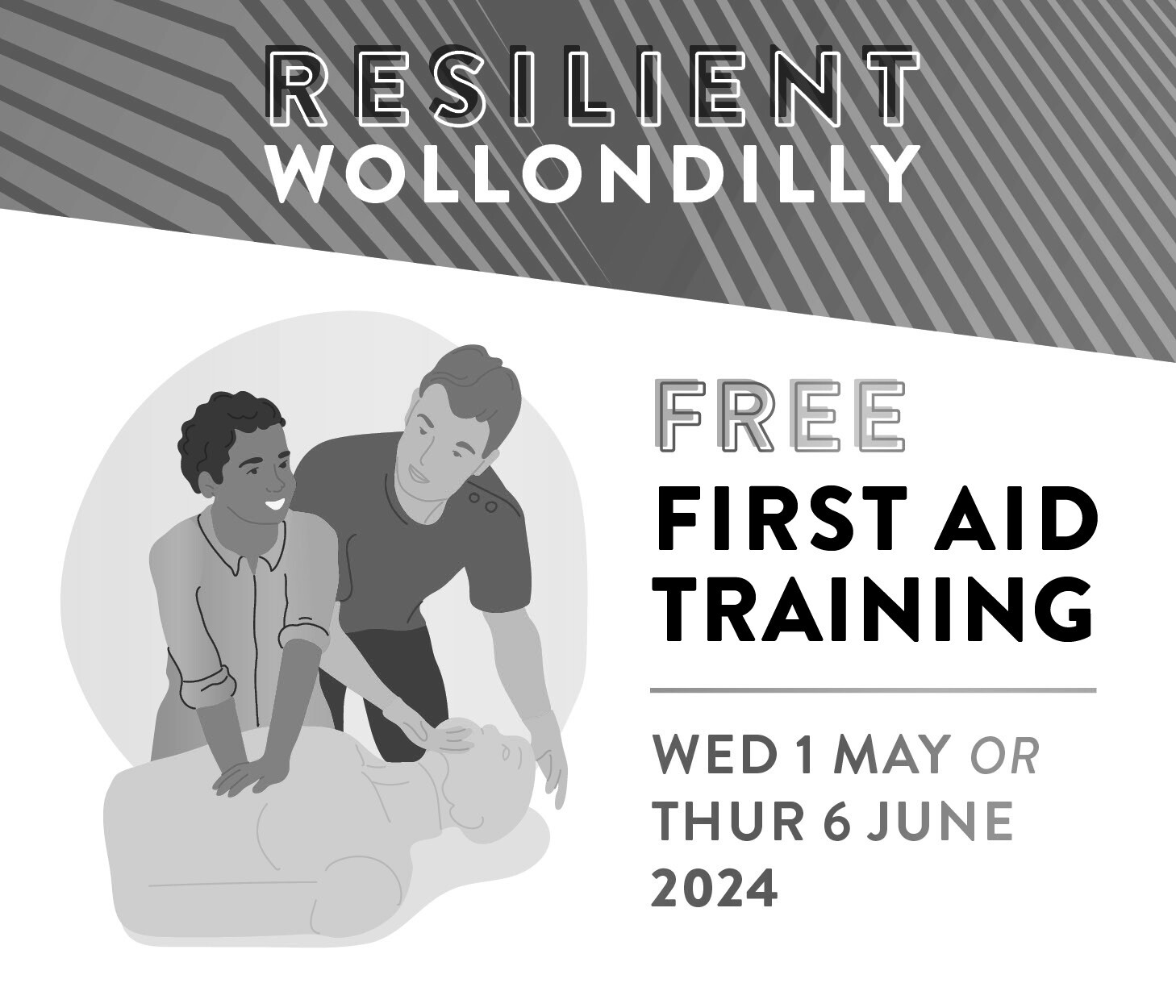
Free first aid training sessions
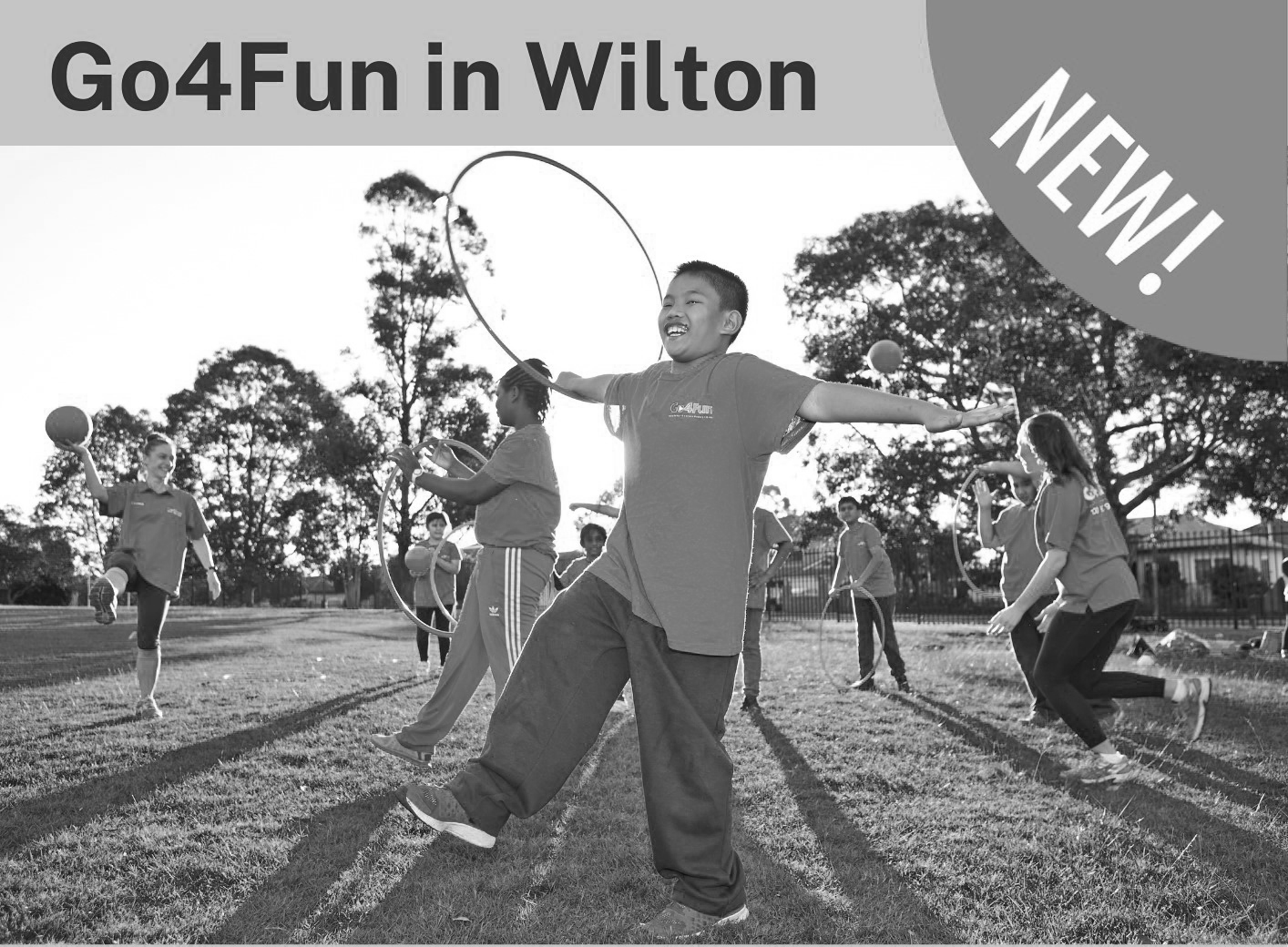
Go4Fun in Wilton
Latest News

Wollondilly Shire Council welcomes $5 million State funding for vital koala care
Wollondilly Council to invest record $190.7M in capital works across the Shire as draft 2024/25 Operational Plan & Budget goes on exhibition
Wollondilly Council’s six-monthly progress report highlights continued improvement